2015. január 18.

Mid-January in Persány mountains

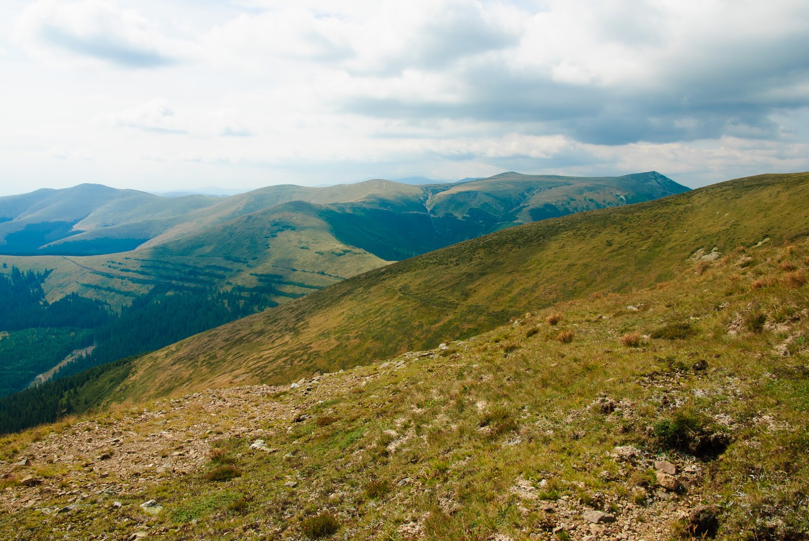
Well it has been quite a while now since my more serious activities, and also last week we failed to activate a summit, so it was time to get back to there, YO/EC-369 and while at it also a detour to YO/MC-160 on the way back. Ok quite a big detour of at least 12km, but hey, that's SOTA :)
So the first one is called Ciuta and best approached from the village of New Sinka on the western side of the Persány mountains. Not an easy ride, as last week showed, when we had to turn back without even getting close to it, due to snow conditions. This time was much better, with the forest road leading to the ridgeline being somewhat circulated and from there a not too deep snow crunching.
After getting back, as I said a detour to YO/MC-160, already described it last year.
And I guess you are already asking where are the photos, I'm now experimenting something new (with my backup camera, as my Nikon failed in the autofocus system) and I uploaded directly to G+


2014. november 15.

Ultima zi de toamnă

Cel puțin așa apărea în știrile ProTV

Bineînțeles n-am fost cu parapanta, dar sunt și eu unul din mii de turiști, și măcar eu am urcat de bune și nu cu cabina, iar motivul era YO/MC-086 Vânturișul și YO/MC-009 Coștila. O zi absolut superbă și nu mai puțin de 15 legături vârf la vârf, e record personal. Nici DX-ul zilei tocmai din Australia nu era de neglijat cu doar 5W. Din păcate fără poze că telefonul mi-a luat razna și s-a descărcat deja la urcare deși era reîncărcat în noaptea de dinainte.

2014. november 9.

The hills nearby

Here's a couple of photos this time from the last outing in the nearby hills, YO/EC-327 and YO/EC-288, again in four, together with Mihai, Sorin and Barbu and a quite nice late autumn day with climbing up in a forest, some ridges and a nice sunset.
The shack on YO/EC-327
A very nice ridge up to YO/EC-327
Going back, Mihai and Barbu left behind for picking some mushrooms, so we marked for them were to leave the ridgeline
While I was QSOing, the guys were playing chess. I don't know who won
Ok, it's about time to go home

2014. október 26.

Between Prahova and Doftana valleys

After last year expedition, it was time for another one around the village of Secăria, this time, the weather not to nice, but, then again it was a good opportunity to visit Mihai's holiday house, with about the same route as last year, this time though also activating YO/EC-480, a new addition to SOTA since last year.
The hiking starts from Secăria, and of course the weather wasn't too kind, so lot of bog on the road
but still a quite nice road and well used do pretty good shape gently going upwards about 4km, with some good panoramas around
Too bad for the wet terrain tough, but some old logs proved to be a good dry enough shack so it turned out quite well after all for staying there. Not too much on the propagation side tough, barely could manage a few contacts (6 more exactly), QRN was quite bad and of course big contest weekend wasn't helping either.
But that's it, enough to claim the summit, and also got some curious quests around:
but he also took a back turn quite fast
Same amount of bog going down, nothing new here, but still in time to hike to the other side of Secăria village, to YO/EC-312 (same as last year) with a bit better propagation but weather getting worse
The clouds were getting more menacing and it was also getting late, so even though we followed the last year's itinerary, we didn't manage for a third summit, but at least consoled with a nice big barbecue in the evening.

2014. október 11.

YO/MC-017

The King's Rock, a true jewel in the South-Eastern Transylvania, an impressive limestone formation with a north-south orientation wedged into the normally west-east oriented Charpatians chain
It was a very good choice for this sunny autumn day, quite warm for the period, no snow anywhere (and the summit is above 2200m so very prone to snow) so together with Sorin, Barbu and Mihai, went of to a quick one-day hike up and down those impressive walls.
Set out of Peștera village with a surprisingly new and very good asphalt road almost to the top of the village a near one of the usual starting place for conquering the King, the Folea hut. On the way one can admire a very nice mountain village with houses dispersed around the ridgetops, near impressive cliffs:
and autumn colored vegetation:
Fall colors followed us on the first part of the hike, a very long quite flat journey until the base of the mountain
After about 2 hours of hiking through a the woods, we were finally just below the magnificent ridgeline, still towering above us by about 1000m
Yeah, the summit is the highest one on bit right side of the above picture, with the climbing route taking the almost direct approach towards it. Something like this:
So a nice challenge with almost the same amount of time needed as the very long approach before. Finally up on the highest point this time admiring the ridge this time looking down
Of course not too much time for looking around, as the time was getting late, and the same amount expected also for the way back, so quick erecting the antenna (fortunately it can be strapped to the pole indicating the summit) and go for the pileup. A lot of station as usual and even W1OW bringing a nice DX as well.
Not too much time tough, so we could get down on the last rays of the sun back to the car, not before admiring some other good SOTA spots nearby (YO/MC-031):


2014. szeptember 21.

Grohotiș mountains

Another fine Saturday, with two summits bagged in the Grohotiș mountains. This is a smaller mountain range south of the Csukás mountains. It is an easy trail along the main ridgeline starting from Bratocsa pass on the DN1A national road. A single day is well enough for both YO/EC-085 and YO/EC-072. The latter is the highest summit in the range and pretty good and well marked (at the beginning) road takes to the summit. The marking is a red stripe marking also the main ridge of the Carpathians, but that ridge takes a right turn before reaching the summit, so only the beginning portion is marked, but the actual road goes to the summit. We even failed to find where the red stripe breaks off.
First target of the day is the closer summit, YO/EC-085, Fața lui Gherghel (the Face of Gregory) which is to the left of the road, rising above it with about 200m as a steep wall, and with some rock formations probably giving it's name:
The Face of Gregory
The summit is on a horseshoe shaped ridge, with the hiking trail on the outer rim, a steep climb on a funny moss-grown terrain:
it is very soft to step on, and without even noticing we were on the ridge, which is in contrast only a barren soil (probably very muddy when raining)
Nice panorama though and very clean takeoff for TX, I was very surprised to hear a very strong ZL station in a QSO with a LA one (which I barely could hear), very good propagation, and real amazement when ZL4IV returned to my call after finishing his QSO with the LA station, I bet my signals wasn't as easy copy then his.
After this QSO which already made my day, I started a more usual SOTA pileup of European stations, and I just stopped (about an hour and half later) when there were no more takers and was already time to catch the next summit as well.

Descending was much harder, as we wanted to shortcut a bit and got towards the cliffs, but it was still manageable. Although a bit more than usual care was necessary as we stumbled upon a very angry adder taking a sunbath on one of the rocks.

Back to the road, it continues again somewhat upwards finally leading to a very large and boring plateau:
with Grohotișu peak (YO/EC-072) showing up in the distant:
To be more annoying it showed ever further away as we approached, and only when I started thinking we will never reach it, finally gave in for another big SOTA pileup.
Even some bugs were curious of it, or maybe just enjoyed a rock painted in yellow:
Anybody any idea what this is?
By the way, as I mentioned the red stripe is available only at the beginning, but the full track was marked with this reflective yellow painting, probably for the Trail-running marathon the week before, and I guess the painting (especially on the rocks) will stay for a while. So it's a very easy to find track to the summit, but in all cases here is the track:

Overall 67 QSOs, with 3 s2s and the best DX to day, very fruitful day I say.

2014. szeptember 8.

A weekend in the Căpățână mountains

This time we had a full weekend of hiking in the south, near Horezu city with some small hills and big mountains. The idea came from Mihai, YO6HXO, to visit his uncle living in a small village near Horezu, and couple it with some hiking in the Buila-Vânturarița National Park and the Căpățânii mountains.
So we left early from work friday afternoon to take a 4 hour drive through the valley of the Olt and then in the Sub-Carpathians
In the way we stopped to admire the trovants, these strange rock formations which have a dedicated museum in Costești:
and of course to take some photos of them
If your are wondering what Mihai was photographing, well here it is:
Little flower inside a big rock
Anyway after a lot of driving and admiring places it was time for some SOTA fun as we arrived to the edge of the Buila-Vânturarița National Park. Of course there was plans for visiting it more thoroughly in the weekend, but for starters we had this smaller rock on the southern side called Arnota which is quite easily accessible, taking a right turn in Costești and then through Bistrița, finally going by the quarry on an impressively good service road, which after the quarry it even turns into an asphalt road leading to Arnota monastery. From the monastery comes the hiking part, about 1 hour to the summit, mostly because the track is quite non-existent, we did find from time to time some old markings but not enough to follow them so we had to find our road. The fog wasn't helping either
and of course it hindered our attempts to make good photos.
But at least here is the track from the monastery to the summit:
As you can see we didn't really managed to find the hiking trail (the red line on the map) even though it was also on the map, but nevertheless the terrain is quite simple, and we even managed to get down without a hitch in the dark.

Next day was time for something bigger, highest point of Căpățână mountains, the Ursu peak with an altitude of 2142m promised a good hike for the day.
Actually we were waiting for a more serius hike, but as it turned outm there is a quite good road (recently renovated from EU funds as sign at the entrance says) up to Roman monastery at about 1700m level. Starting from Horezu, the road is well indicated, first to Romanii de Jos, and then at every intersection you can find directions toward Roman monastery. A good gravel road takes to the plateau, where a lot of activity waits, recently built weekend houses, rescue stations, hotel/restaurants hint at a rising tourism activity in the area. I wouldn't be surprised if a ski resort would open soon there.
Anyway once on the plateau, the road continues towards the main ridgeline, so we also followed it to about 1800m ASL, when a big bog on the road stopped us. It looked quite deep, so I didn't want to try it with my car
so from there we continued on foot.
Obviously not everyone was so worried as myself, we met quite a lot of traffic:
And also quite soon we found out why the good road up the mountain:
I don't want to insinuate anything, but we didn't so any tree at this altitude and anywhere above us.
But beside these, a much more peaceful sight waited in the alpine region:
and of course a lot of cowberries for us to graze :)
After arriving to the main ridgeline of the mountain, the road we were following so far turned to the right, while the summit was to the left, so we had to switch to a much less used road
taking us close to the summit. That road also takes a bit below the summit, so the last 50m is plain climbing between rocks
The summit has a summit-stone and some big rocks piled up, so it's a good place to put up the antenna. However my antenna which was mildly underperforming the day before, gave up this time, and the backup antenna wasn't in good shape either, not to mention the propagation, so after a few QSOs (barely enough to qualify the summit) I had to give up.
Especially that we wanted to bag another summit for the day, so continued our hike towards the next peak to the west: Nedeia. However after about an hour of hike we met an indicator saying Nedeia is another 3 hour hike, and we could also see in the far distant, that it is indeed a serious hike to there
so we decided to turn back, and get down from the mountain in the daylight. Already in the autumn the day is short so we couldn't get back in light if tried for Nedeia. Perhaps in the summer.

But to not end the day without a second summit, after getting down to Horezu, we have stopped to activate the small hill of Slatiaru, which we thought would be easy enough even in the dark. Well as it turned out, it was much harder than the 2000 m summit before. It was only about 180m climb on a hill covered with forest, but the slope was sometimes near vertical, with some cliff on either side, so it was a sweaty peak, and of course in the dark. But at least some points bagged in here also.
And the last points for this area, as tired from the day hike, and also road home ahead of us, we decided to postpone the summiting of the Buila-Vânturarița for some other time, with longer daylight and better WX conditions.